发布:2025-12-15 浏览:0
林木资产价格评估:智慧林业赋能商品林经济效益快速评估的数字化方案
Valuation of Forest Asset Prices: A Digital Solution for Rapid Evaluation of Economic Benefits of Commercial Forests Empowered by Smart Forestry")
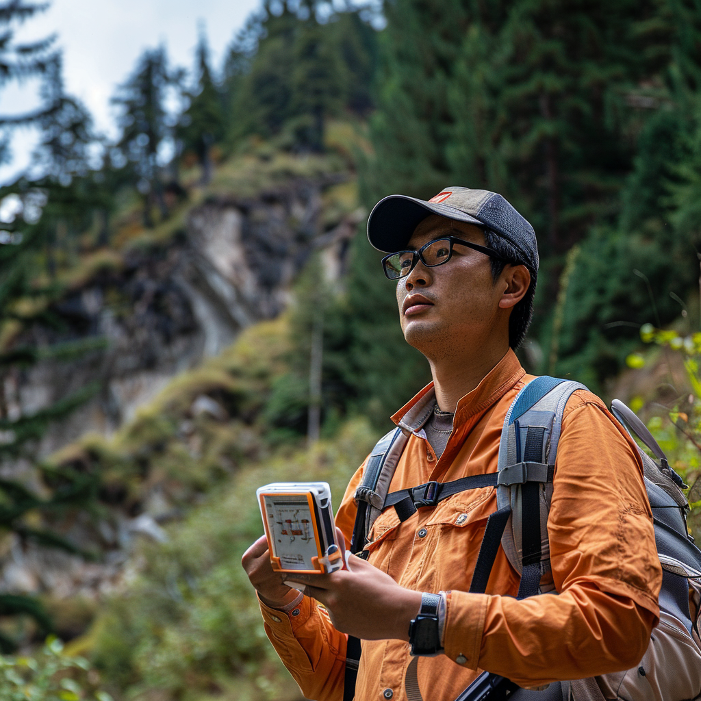
商品林的经济效益评估核心围绕林木蓄积量展开,而蓄积量的精准测算取决于树径、树高及单位面积株数三大关键指标。传统评估方式依赖人工临场测量,不仅耗时耗力、覆盖范围有限,还易因人为误差影响结果准确性,难以满足大规模商品林高效管理的需求。如今,无人机遥感、GIS技术与林业信息化平台的深度融合,为商品林经济效益快速评估提供了高精度、高效率的数字化解决方案,成为林业人不可或缺的管理工具。
The core of economic benefit evaluation of commercial forests revolves around the volume of forest trees, and the accurate measurement of volume depends on three key indicators: tree diameter, tree height, and the number of trees per unit area. The traditional evaluation method relies on manual on-site measurement, which is not only time-consuming and labor-intensive, with limited coverage, but also prone to human error affecting the accuracy of results, making it difficult to meet the needs of efficient management of large-scale commercial forests. Nowadays, the deep integration of unmanned aerial vehicle remote sensing, GIS technology, and forestry information platform provides high-precision and efficient digital solutions for the rapid evaluation of economic benefits of commercial forests, and has become an indispensable management tool for forestry personnel.
要实现商品林经济效益的快速评估,首先需明确蓄积量的核心地位——它直接决定了木材产量与资产价值,是经济效益核算的基础。传统人工评估中,林业人员需深入林区逐株测量树径、树高,再统计单位面积株数,流程繁琐且周期长,尤其对于大面积林区,往往需要数月才能完成评估,严重滞后于市场决策需求。而数字化技术的应用,从根本上改变了这一现状,通过技术手段实现关键数据的快速获取与精准测算。
To achieve a rapid assessment of the economic benefits of commercial forests, it is necessary to first clarify the core position of stock volume - it directly determines the timber production and asset value, and is the basis for economic benefit accounting. In traditional manual evaluation, forestry personnel need to go deep into the forest area to measure the diameter and height of each tree, and then count the number of trees per unit area. The process is cumbersome and time-consuming, especially for large-scale forest areas, which often takes several months to complete the evaluation, seriously lagging behind market decision-making needs. The application of digital technology has fundamentally changed this situation, achieving rapid acquisition and accurate measurement of key data through technological means.
无人机遥感技术是破解单位面积株数统计难题的核心工具。林业人员只需操控无人机对目标林区进行全面扫描,搭载的高清摄像头与光谱识别设备可快速捕捉林区影像,且无需依赖第三方软件拼接——无人机管理平台能直接在终端完成影像拼接,生成完整、清晰的林区全景影像。借助内置的AI识别算法,平台可自动区分目标树种与其他植被,精准统计单位面积内的林木株数,彻底替代人工计数的繁琐工作。这种方式不仅覆盖范围广,能轻松应对大面积商品林的评估需求,还能将原本需要数周的工作压缩至数小时,效率提升数十倍,同时避免了人工计数的遗漏与误差。
Unmanned aerial vehicle remote sensing technology is the core tool for solving the problem of counting the number of plants per unit area. Forestry personnel only need to control the drone to conduct a comprehensive scan of the target forest area, equipped with high-definition cameras and spectral recognition devices that can quickly capture forest images without relying on third-party software splicing - the drone management platform can directly complete image splicing at the terminal, generating complete and clear panoramic images of the forest area. With the help of built-in AI recognition algorithms, the platform can automatically distinguish target tree species from other vegetation, accurately count the number of trees per unit area, and completely replace the tedious work of manual counting. This approach not only covers a wide range and can easily meet the evaluation needs of large-scale commercial forests, but also compresses the work that originally required weeks into hours, increasing efficiency by dozens of times while avoiding omissions and errors in manual counting.
GIS技术与林业信息化平台则为树径、树高的精准测算提供了支撑。以云南林业信息化平台为代表的数字化系统,融合地理信息与GIS技术,能将无人机获取的影像数据与林区地理坐标精准匹配。通过影像分析技术,系统可自动提取单株林木的冠幅、胸径等参数,结合树种生长模型反推树高,进而计算出单株林木的蓄积量,再乘以单位面积株数,即可快速得出整个林区的总蓄积量。这种数字化测算方式无需人员深入林区,既降低了作业风险,又保证了数据的客观性与一致性,测算精度远超传统人工测量。
GIS technology and forestry information platform provide support for accurate measurement of tree diameter and height. The digital system represented by Yunnan Forestry Information Platform integrates geographic information and GIS technology, which can accurately match the image data obtained by drones with the geographical coordinates of forest areas. Through image analysis technology, the system can automatically extract parameters such as crown width and breast height diameter of individual trees, and combine them with tree growth models to infer tree height, thereby calculating the stock volume of individual trees. Multiplying it by the number of trees per unit area can quickly obtain the total stock volume of the entire forest area. This digital measurement method does not require personnel to go deep into the forest area, which not only reduces operational risks, but also ensures the objectivity and consistency of data, and the measurement accuracy far exceeds traditional manual measurement.
在获取精准蓄积量数据后,即可快速完成商品林经济效益评估。结合目标树种的市场价格、木材出材率、运输成本及后续管护投入等因素,可直接核算出商品林的当前资产价值;同时,借助林业信息化平台的动态监测功能,还能跟踪林木生长状况,预测未来蓄积量增长趋势,为采伐规划、市场定价等决策提供科学依据。此外,这类平台还能实现商品林的数字化管理,强化病虫害、火灾等风险预警,为林长制落实提供全面的信息化支撑,让商品林管理从“经验驱动”转向“数据驱动”。
After obtaining accurate accumulation data, the economic benefits evaluation of commercial forests can be quickly completed. By taking into account factors such as market prices of target tree species, timber yield, transportation costs, and subsequent management and maintenance investments, the current asset value of commercial forests can be directly calculated; At the same time, with the dynamic monitoring function of the forestry information platform, it is also possible to track the growth status of trees, predict the future growth trend of stock volume, and provide scientific basis for decision-making such as logging planning and market pricing. In addition, such platforms can also achieve digital management of commercial forests, strengthen risk warnings for diseases, pests, fires, etc., provide comprehensive information support for the implementation of the forest tenure system, and shift the management of commercial forests from "experience driven" to "data-driven".
专业评估建议
Professional evaluation suggestions
作为深耕林业信息化领域的从业者,建议林业单位在选择数字化评估方案时,优先选用支持无人机端侧拼图、AI树种识别的一体化平台,避免因数据格式不兼容影响评估效率;同时,需确保平台搭载的GIS技术具备高精度地理坐标匹配能力,保障树径、树高测算的准确性。评估过程中,可结合少量实地抽样校验,进一步提升数据可靠性;对于古树名木等特殊林木,还可借助平台的数字化建档功能,实现资产的动态跟踪与价值评估。
As practitioners deeply involved in the field of forestry informatization, it is recommended that forestry units prioritize the use of an integrated platform that supports unmanned aerial vehicle (UAV) end-to-end puzzle and AI tree species recognition when selecting digital evaluation solutions, in order to avoid the impact of incompatible data formats on evaluation efficiency; At the same time, it is necessary to ensure that the GIS technology installed on the platform has high-precision geographic coordinate matching capabilities to ensure the accuracy of tree diameter and height calculations. During the evaluation process, a small amount of on-site sampling verification can be combined to further enhance the reliability of the data; For special trees such as ancient and famous trees, the digital filing function of the platform can also be used to achieve dynamic tracking and value evaluation of assets.
无人机与GIS技术的融合应用,彻底革新了商品林经济效益评估的模式,让“快速、精准、高效”成为现实。这种数字化方案不仅解决了传统评估方式的痛点,还为商品林的精细化管理、风险预警提供了全面支撑,助力林业产业从传统模式向智慧化、数字化转型。随着智慧林业技术的不断发展,商品林的经济效益评估将更加便捷、科学,为林业可持续发展与林农增收提供有力保障。如果在数字化评估过程中遇到技术选型或操作疑问,欢迎随时交流咨询!
The integration of drones and GIS technology has completely revolutionized the mode of economic benefit evaluation for commercial forests, making "fast, accurate, and efficient" a reality. This digital solution not only solves the pain points of traditional evaluation methods, but also provides comprehensive support for the refined management and risk warning of commercial forests, helping the forestry industry transform from traditional models to intelligent and digital ones. With the continuous development of smart forestry technology, the economic benefit evaluation of commercial forests will become more convenient and scientific, providing strong guarantees for sustainable forestry development and increased income for forest farmers. If you encounter technical selection or operational questions during the digital evaluation process, please feel free to communicate and consult at any time!
本文由 林木资产价格评估 友情奉献.更多有关的知识请点击 http://www.jyslpg.com/ 真诚的态度.为您提供为全面的服务.更多有关的知识我们将会陆续向大家奉献.敬请期待.
This article is dedicated to the evaluation of forest asset prices For more related knowledge, please click http://www.jyslpg.com/ Sincere attitude To provide you with comprehensive services We will gradually contribute more relevant knowledge to everyone Coming soon.