发布:2025-06-02 浏览:0
森林作为地球生态系统的核心组成部分,其健康状况与生态价值评估对资源管理、环境保护及可持续发展具有重要意义。在森林评估领域,专业人员通过科学方法解析森林的结构、功能与变化趋势,为决策提供数据支撑。本文将介绍几种常用的评估手段,帮助读者理解森林状态分析的基本逻辑。
As a core component of the Earth's ecosystem, the health status and ecological value assessment of forests are of great significance for resource management, environmental protection, and sustainable development. In the field of forest assessment, professionals use scientific methods to analyze the structure, function, and trends of forests, providing data support for decision-making. This article will introduce several commonly used evaluation methods to help readers understand the basic logic of forest state analysis.
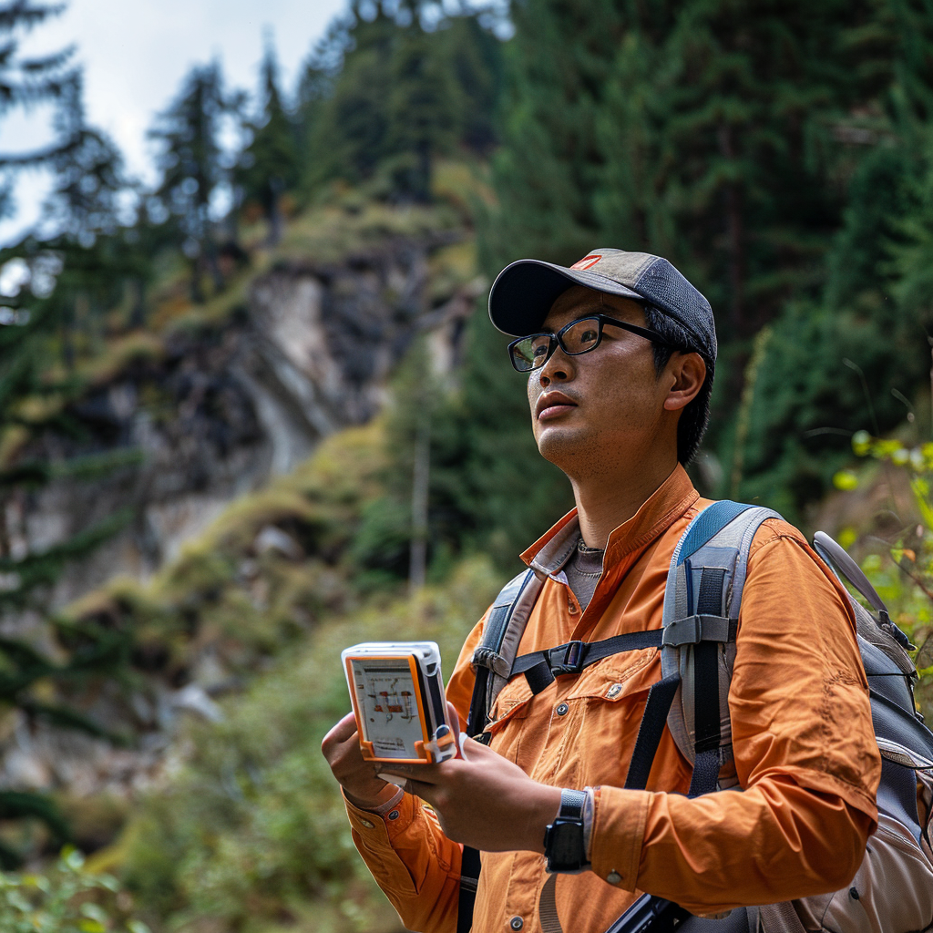
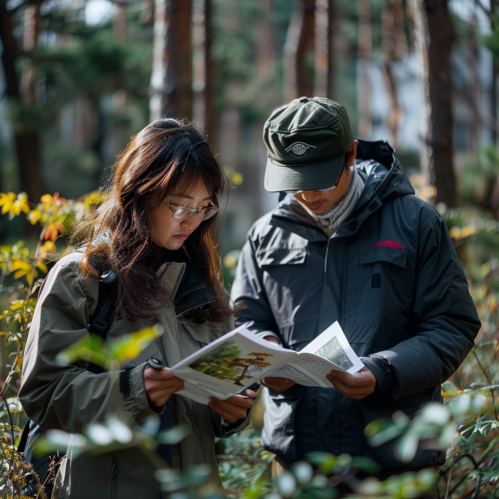
地面调查与样方研究是森林评估的基础方法。评估团队会在目标区域内设置具有代表性的样地,通过人工测量记录树木的胸径、树高、冠幅等参数,同时记录林下植被、土壤类型及微地形特征。这种“脚踏实地”的方式能获取最直接的数据,例如某片林区乔木的平均年龄或特定树种的分布密度。尽管地面调查耗时较长,但其数据精度极高,常被用作验证其他技术手段的基准。
Ground investigation and sample plot research are the fundamental methods for forest assessment. The evaluation team will set up representative sample plots within the target area, and manually measure and record parameters such as tree diameter at breast height, tree height, crown width, as well as understory vegetation, soil type, and micro terrain features. This down-to-earth approach can obtain the most direct data, such as the average age of trees in a certain forest area or the distribution density of specific tree species. Although ground surveys take a long time, their data accuracy is extremely high and they are often used as benchmarks to validate other technical methods.
遥感监测技术的引入极大扩展了评估的时空尺度。搭载多光谱或激光雷达的卫星、无人机可定期拍摄森林影像,通过分析植被反射的光谱特征判断森林覆盖度、叶面积指数甚至生物量变化。例如,健康针叶林在红外波段的反射率显著高于受病虫害侵袭的区域,这种差异能被遥感设备精准捕捉。该技术尤其适合大范围、高频次的动态监测,如同为森林装上“天空之眼”。
The introduction of remote sensing monitoring technology has greatly expanded the spatiotemporal scale of evaluation. Satellites and drones equipped with multispectral or LiDAR can regularly capture forest images, and determine forest coverage, leaf area index, and even biomass changes by analyzing the spectral characteristics reflected by vegetation. For example, the reflectance of healthy coniferous forests in the infrared band is significantly higher than that of areas affected by pests and diseases, and this difference can be accurately captured by remote sensing equipment. This technology is particularly suitable for large-scale, high-frequency dynamic monitoring, like fitting a "sky eye" to a forest.
")
生物量模型构建是量化森林碳储量的关键。研究人员会结合地面实测数据与遥感参数,建立数学模型估算单位面积内树木的碳储存能力。这类模型需考虑树种特性、林龄结构及立地条件,例如同一纬度下,湿润地区的云杉林碳汇效率可能高于干旱地区的松林。模型输出结果常被用于碳交易市场或气候变化研究,为生态价值核算提供科学依据。
The construction of biomass models is crucial for quantifying forest carbon storage. Researchers will combine ground measurement data with remote sensing parameters to establish mathematical models to estimate the carbon storage capacity of trees per unit area. This type of model needs to consider tree species characteristics, forest age structure, and site conditions. For example, at the same latitude, the carbon sequestration efficiency of spruce forests in humid areas may be higher than that of pine forests in arid areas. The output results of the model are often used in carbon trading markets or climate change research, providing scientific basis for ecological value accounting.
生态功能评估则更关注森林的综合服务能力。通过分析水源涵养量、固碳释氧效率、生物多样性指数等指标,评估森林对区域气候调节、水土保持及物种保育的贡献。例如,一片原始阔叶林可能同时具备高水平的碳储存能力和独特的鸟类栖息地功能,这种多维价值难以用单一经济指标衡量。
Ecological function assessment focuses more on the comprehensive service capacity of forests. By analyzing indicators such as water conservation capacity, carbon sequestration and oxygen release efficiency, and biodiversity index, evaluate the contribution of forests to regional climate regulation, soil and water conservation, and species conservation. For example, a primitive broad-leaved forest may possess both high levels of carbon storage capacity and unique bird habitat functions, and this multidimensional value is difficult to measure using a single economic indicator.
尽管现代技术手段日益丰富,森林评估仍面临诸多挑战。复杂地形可能导致遥感信号失真,气候变化可能打破既有模型的预测精度,而人类活动的干扰则要求评估体系具备更强的动态适应性。未来,多技术融合与人工智能的应用或将推动森林评估向更精准、更智能的方向发展,为守护绿色家园提供更有力的决策支持。
Despite the increasing abundance of modern technological means, forest assessment still faces many challenges. Complex terrain may lead to distortion of remote sensing signals, climate change may break the prediction accuracy of existing models, and human activity interference requires assessment systems to have stronger dynamic adaptability. In the future, the integration of multiple technologies and the application of artificial intelligence may drive forest assessment towards more accurate and intelligent directions, providing stronger decision support for safeguarding green homes.
本文由森林资源资产评估友情奉献.更多有关的知识请点击:http://www.jyslpg.com我们将会对您提出的疑问进行详细的解答,欢迎您登录网站留言.
This article is contributed by the Friendship Contribution of Forest Resource Asset Evaluation For more information, please click: http://www.jyslpg.com We will provide detailed answers to your questions. You are welcome to log in to our website and leave a message