发布:2025-12-07 浏览:0
森林资源资产评估是森林管理和保护的重要基础,其目的是了解森林的结构、分布、健康状况以及动态变化。随着遥感技术、地理信息系统(GIS)、全球定位系统(GPS)以及地面调查等多种数据获取手段的发展,森林资源资产评估的数据来源日益多样化。如何有效整合这些多源数据,成为提高评估精度和效率的关键。本文将从数据来源、整合方法以及应用案例三个方面,探讨森林资源资产评估中多源数据的整合策略。
Forest resource asset assessment is an important foundation for forest management and protection, with the aim of understanding the structure, distribution, health status, and dynamic changes of forests. With the development of various data acquisition methods such as remote sensing technology, geographic information systems (GIS), global positioning systems (GPS), and ground surveys, the data sources for forest resource asset assessment are becoming increasingly diverse. How to effectively integrate these multi-source data has become the key to improving evaluation accuracy and efficiency. This article will explore the integration strategy of multi-source data in forest resource asset assessment from three aspects: data sources, integration methods, and application cases.
一、森林资源资产评估中的多源数据来源
1、 Multi source data sources in forest resource asset assessment
森林资源资产评估涉及的数据来源主要包括以下几类:
The data sources involved in forest resource asset assessment mainly include the following categories:
遥感数据
remote sensing data
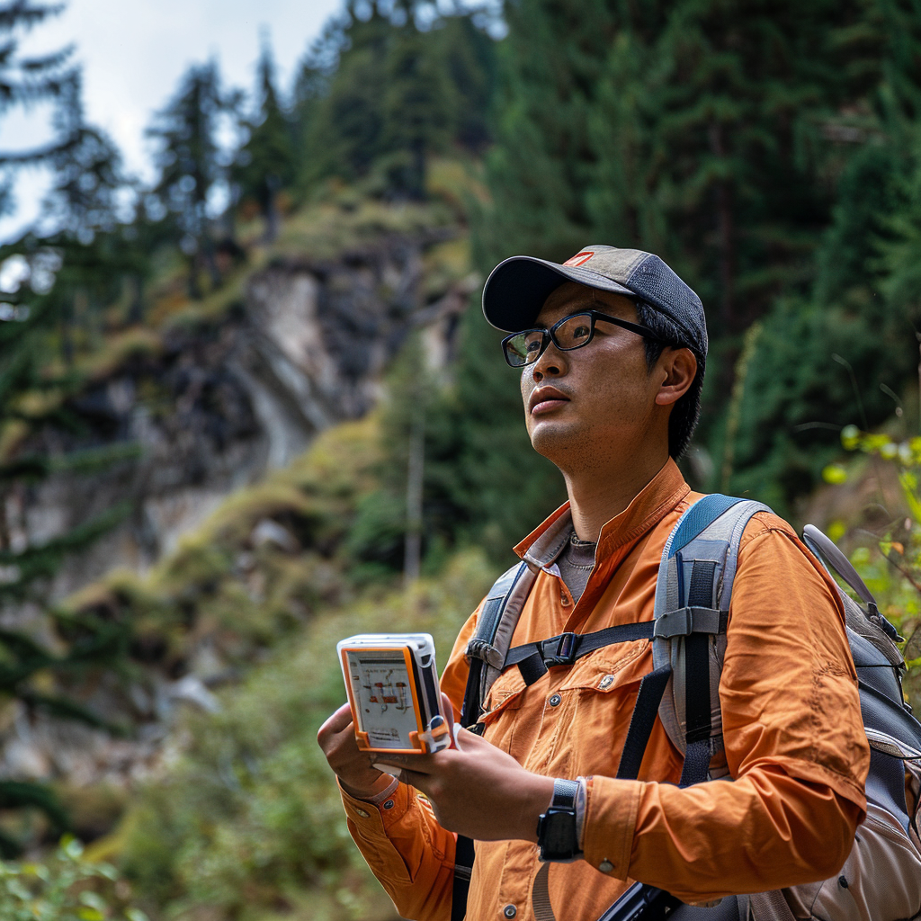
遥感技术是森林资源资产评估的重要数据来源,包括光学遥感(如Landsat、Sentinel-2)、雷达遥感(如Sentinel-1)和激光雷达(LiDAR)等。光学遥感可用于获取森林覆盖、植被指数(如NDVI)等信息;雷达遥感能够穿透云层,提供森林结构信息;LiDAR则可以测量树高、冠层结构等三维信息。
Remote sensing technology is an important data source for forest resource asset assessment, including optical remote sensing (such as Landsat, Sentinel-2), radar remote sensing (such as Sentinel-1), and LiDAR. Optical remote sensing can be used to obtain information such as forest cover and vegetation indices (such as NDVI); Radar remote sensing can penetrate cloud layers and provide information on forest structure; LiDAR can measure three-dimensional information such as tree height and canopy structure.
地面调查数据
Ground survey data
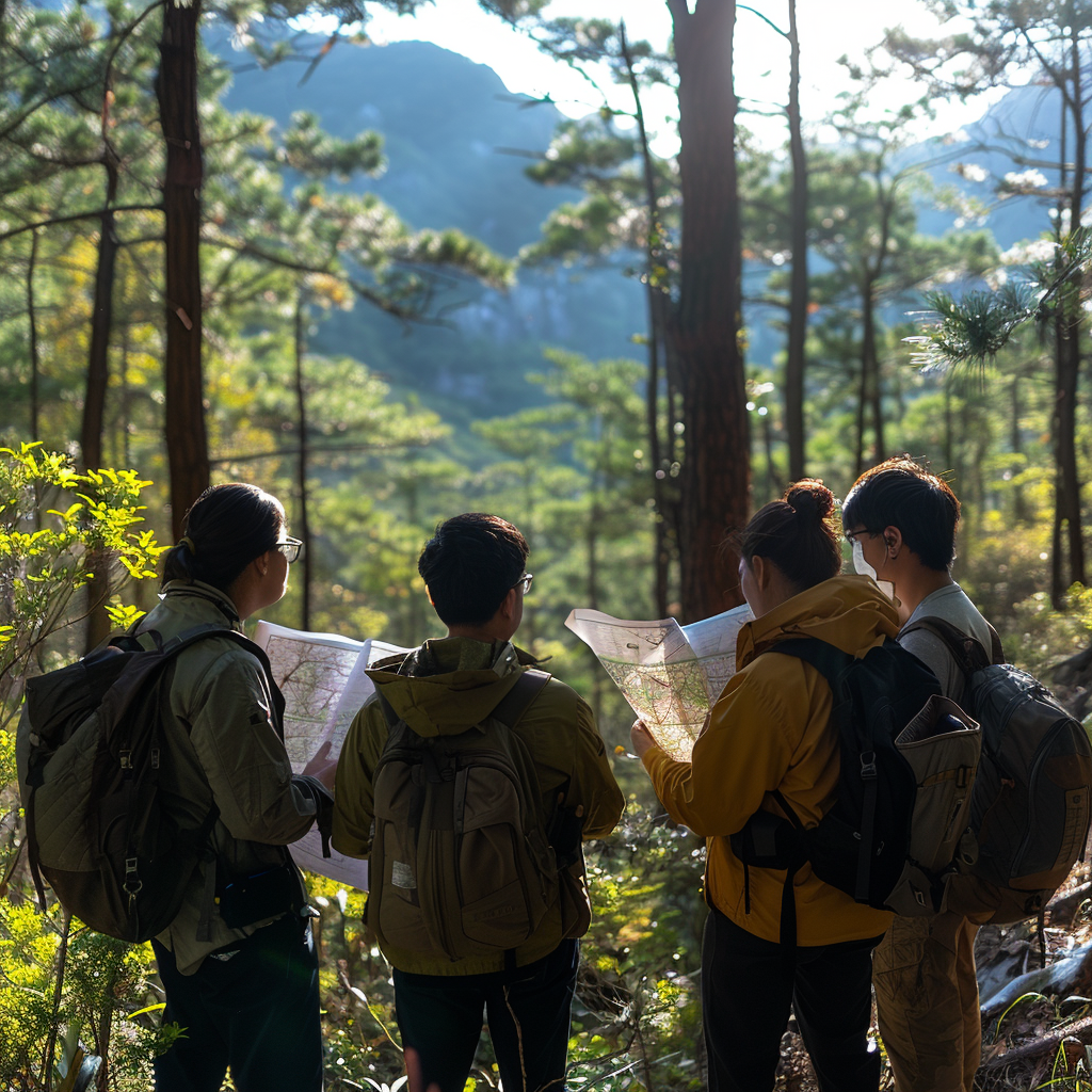
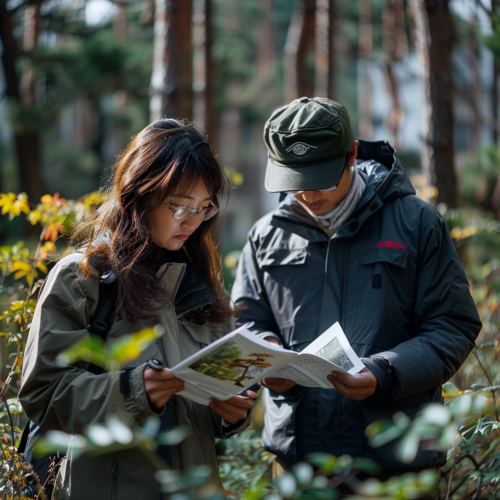
地面调查是获取森林资源信息的直接方法,包括样地调查、树木测量、土壤分析等。这些数据具有高精度,但受限于人力、物力和时间成本,通常只能覆盖局部区域。
Ground survey is a direct method for obtaining forest resource information, including plot investigation, tree measurement, soil analysis, etc. These data have high accuracy, but are limited by manpower, material resources, and time costs, and can usually only cover local areas.
地理信息系统(GIS)数据
Geographic Information System (GIS) data
GIS数据包括地形图、土地利用图、气候数据等,为森林资源资产评估提供了空间背景信息。例如,地形数据可用于分析森林分布与海拔、坡度的关系;气候数据有助于评估森林的生长潜力和生态功能。
GIS data includes topographic maps, land use maps, climate data, etc., providing spatial background information for forest resource asset assessment. For example, terrain data can be used to analyze the relationship between forest distribution, altitude, and slope; Climate data helps evaluate the growth potential and ecological functions of forests.
社会经济数据
Socio economic data
森林资源资产评估还需考虑人类活动的影响,如森林采伐、土地利用变化、保护区规划等。这些数据通常来自统计年鉴、政府报告或实地调查。
The assessment of forest resource assets also needs to consider the impact of human activities, such as forest logging, land use change, and protected area planning. These data usually come from statistical yearbooks, government reports, or field surveys.
历史数据
historical data
历史数据包括过去的森林资源调查记录、遥感影像等,用于分析森林的动态变化趋势。
Historical data includes past forest resource survey records, remote sensing images, etc., used to analyze the dynamic trends of forest changes.
森林资源资产评估
Forest resource asset assessment
二、多源数据整合的方法
2、 Methods for integrating multi-source data
多源数据的整合需要结合数据的特性、评估目标以及技术手段,以下是几种常见的整合方法:
The integration of multi-source data requires a combination of data characteristics, evaluation objectives, and technical means. The following are several common integration methods:
数据预处理
data preprocessing
不同来源的数据在格式、分辨率、坐标系等方面可能存在差异,因此需要进行预处理。包括数据格式转换、空间配准、分辨率统一、数据清洗等。例如,将遥感影像与地面调查数据对齐,确保空间一致性。
Data from different sources may have differences in format, resolution, coordinate system, etc., therefore preprocessing is necessary. Including data format conversion, spatial registration, resolution unification, data cleaning, etc. For example, aligning remote sensing images with ground survey data to ensure spatial consistency.
数据融合
data fusion
数据融合是将多源数据有机结合,以提高信息的完整性和精度。常见方法包括:
Data fusion is the organic combination of multiple sources of data to improve the integrity and accuracy of information. Common methods include:
空间融合:将不同分辨率的数据融合,例如将高分辨率LiDAR数据与中分辨率光学影像结合,提高森林结构信息的精度。
Spatial fusion: fusing data of different resolutions, such as combining high-resolution LiDAR data with medium resolution optical images, to improve the accuracy of forest structural information.
时间融合:将不同时间的数据整合,分析森林的动态变化。例如,利用多年遥感影像监测森林覆盖变化。
Time Fusion: Integrating data from different times to analyze the dynamic changes in the forest. For example, monitoring forest cover changes using multi-year remote sensing imagery.
属性融合:将不同属性的数据结合,例如将遥感数据与地面调查数据融合,提高森林生物量估算的精度。
Attribute fusion: Combining data with different attributes, such as fusing remote sensing data with ground survey data, to improve the accuracy of forest biomass estimation.
模型集成
Model Ensemble
利用统计模型、机器学习模型或生态模型,将多源数据整合到统一的评估框架中。例如,利用随机森林模型将遥感数据、地形数据和地面调查数据结合,预测森林碳储量。
Integrate multi-source data into a unified evaluation framework using statistical models, machine learning models, or ecological models. For example, using a random forest model to combine remote sensing data, terrain data, and ground survey data to predict forest carbon storage.
不确定性分析
Uncertainty analysis
多源数据整合过程中,不同数据的不确定性可能影响评估结果。因此,需要对数据的不确定性进行分析和量化,例如通过误差传播模型或蒙特卡洛模拟,评估整合结果的可靠性。
In the process of integrating multi-source data, the uncertainty of different data may affect the evaluation results. Therefore, it is necessary to analyze and quantify the uncertainty of the data, such as through error propagation models or Monte Carlo simulations, to evaluate the reliability of the integrated results.
可视化与决策支持
Visualization and Decision Support
通过GIS平台或数据可视化工具,将整合后的数据以地图、图表等形式呈现,为森林管理和决策提供支持。例如,利用三维可视化技术展示森林结构与地形的关系。
Through GIS platforms or data visualization tools, the integrated data is presented in the form of maps, charts, etc., to provide support for forest management and decision-making. For example, using 3D visualization technology to demonstrate the relationship between forest structure and terrain.
三、多源数据整合的应用案例
3、 Application case of multi-source data integration
森林碳储量评估
Forest carbon stock assessment
森林碳储量评估需要结合遥感数据、地面调查数据和气候数据。例如,利用LiDAR数据获取森林高度信息,结合地面样地的生物量测量数据,建立碳储量估算模型。同时,利用气候数据分析碳储量的空间分布规律。
Forest carbon stock assessment requires a combination of remote sensing data, ground survey data, and climate data. For example, using LiDAR data to obtain forest height information, combined with biomass measurement data from ground plots, to establish a carbon storage estimation model. Meanwhile, utilizing climate data to analyze the spatial distribution patterns of carbon storage.
森林火灾风险评估
Forest fire risk assessment
森林火灾风险评估需要整合遥感数据(如植被覆盖、地表温度)、地形数据(如坡度、坡向)以及社会经济数据(如人口密度、火源分布)。通过多源数据融合,可以构建火灾风险指数,为火灾预防提供科学依据。
Forest fire risk assessment requires the integration of remote sensing data (such as vegetation cover, surface temperature), terrain data (such as slope, aspect), and socio-economic data (such as population density, fire source distribution). Through multi-source data fusion, a fire risk index can be constructed to provide scientific basis for fire prevention.
森林动态监测
Forest dynamic monitoring
利用多时相遥感影像和地面调查数据,可以监测森林覆盖变化、植被恢复情况等。例如,通过对比不同年份的遥感影像,分析森林采伐和造林活动的空间分布。
By utilizing multi temporal remote sensing images and ground survey data, changes in forest cover and vegetation restoration can be monitored. For example, by comparing remote sensing images from different years, analyze the spatial distribution of forest logging and afforestation activities.
生物多样性保护
Biodiversity conservation
生物多样性保护需要整合森林结构数据、物种分布数据和保护区规划数据。例如,利用遥感数据获取森林栖息地信息,结合物种调查数据,评估保护区的有效性。
Biodiversity conservation requires the integration of forest structure data, species distribution data, and protected area planning data. For example, using remote sensing data to obtain forest habitat information, combined with species survey data, to evaluate the effectiveness of protected areas.
本文由 森林资源资产评估 友情奉献.更多有关的知识请点击 http://www.jyslpg.com/ 真诚的态度.为您提供为全面的服务.更多有关的知识我们将会陆续向大家奉献.敬请期待.
This article is contributed by the Friendship Contribution of Forest Resource Asset Evaluation For more related knowledge, please click http://www.jyslpg.com/ Sincere attitude To provide you with comprehensive services We will gradually contribute more relevant knowledge to everyone Coming soon.