发布:2025-06-14 浏览:0
森林资源资产核查是林业管理中的核心环节,其目的在于通过系统化手段摸清森林资源的数量、质量、分布及经济价值,为生态保护、资源利用及政策制定提供数据支撑。核查过程需兼顾科学性、可操作性与生态可持续性,通常涵盖地面实测、遥感监测、模型模拟及档案分析等多维度技术手段。
Forest resource asset verification is a core link in forestry management, aimed at systematically understanding the quantity, quality, distribution, and economic value of forest resources, providing data support for ecological protection, resource utilization, and policy formulation. The verification process needs to balance scientificity, operability, and ecological sustainability, usually covering multidimensional technical means such as ground measurement, remote sensing monitoring, model simulation, and archive analysis.
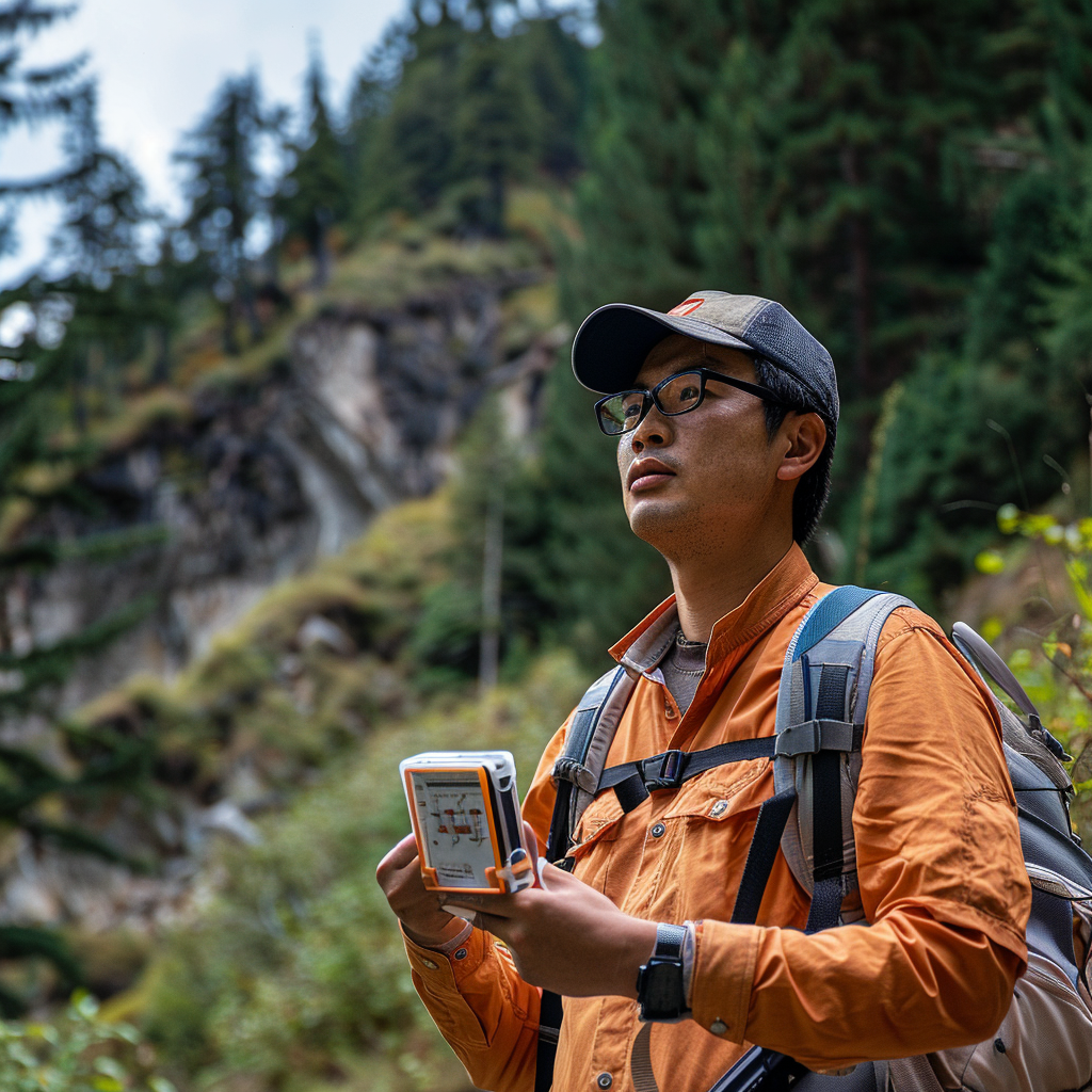
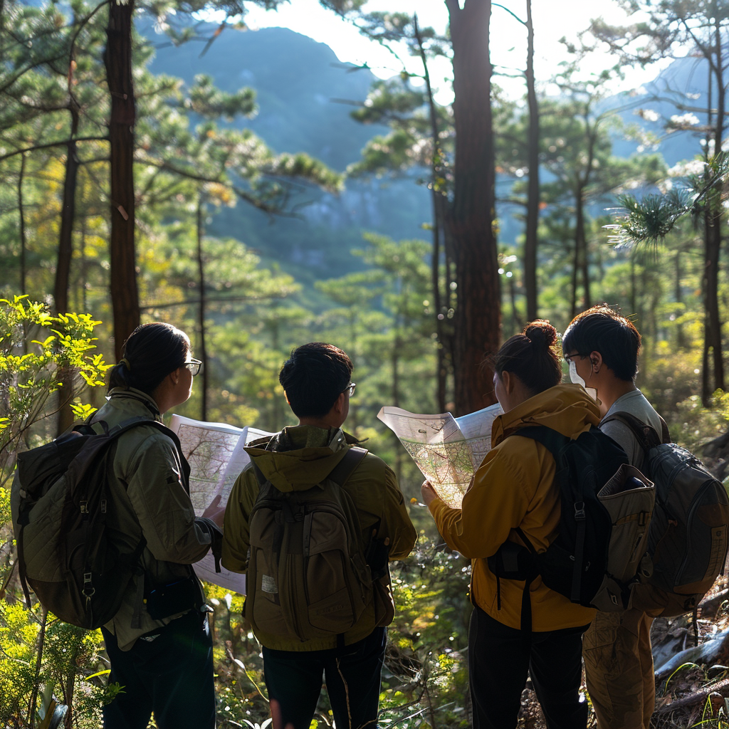
地面实测法是森林资源核查的基础。专业人员通过设置样地或样线,对林木的胸径、树高、株数、蓄积量等指标进行直接测量,并结合土壤类型、坡度、坡向等立地条件记录数据。此方法数据精度高,但受地形复杂度、人力成本及时间投入限制,通常用于小范围精准核查或抽样验证。为提升效率,现代实测常结合激光测距仪、树冠分析仪等便携设备,减少人为误差。
Ground measurement method is the foundation of forest resource verification. Professional personnel directly measure indicators such as tree diameter at breast height, tree height, number of trees, and stock volume by setting up sample plots or lines, and record data based on site conditions such as soil type, slope, and aspect. This method has high data accuracy, but is limited by terrain complexity, labor costs, and time investment, and is usually used for small-scale accurate verification or sampling validation. To improve efficiency, modern measurement often combines portable devices such as laser rangefinders and canopy analyzers to reduce human errors.
遥感监测法依托卫星、无人机或航空影像,通过光谱分析识别森林覆盖类型、郁闭度及变化趋势。多光谱与雷达数据可穿透云层,实现全季节、大范围监测,尤其适用于林火后评估、非法砍伐追踪及生态修复效果评价。然而,遥感数据需与地面实测结果校准,以解决空间分辨率不足及混合像元问题。
Remote sensing monitoring method relies on satellite, drone or aerial images to identify forest cover types, canopy density and change trends through spectral analysis. Multispectral and radar data can penetrate cloud layers, enabling full season and large-scale monitoring, especially suitable for post forest fire assessment, illegal logging tracking, and ecological restoration effect evaluation. However, remote sensing data needs to be calibrated with ground measurement results to address issues of insufficient spatial resolution and mixed pixels.
")
模型模拟法通过构建数学模型,整合气候、土壤、树种特性等参数,预测森林生长量、碳储量及潜在经济价值。例如,生长收获模型可模拟不同经营模式下林木蓄积变化,为可持续采伐规划提供依据。模型精度依赖于输入数据的完整性,需定期结合实测数据修正参数。
The model simulation method constructs mathematical models that integrate parameters such as climate, soil, and tree species characteristics to predict forest growth, carbon storage, and potential economic value. For example, the growth and harvest model can simulate changes in forest stock under different management modes, providing a basis for sustainable logging planning. The accuracy of the model depends on the integrity of the input data, and parameters need to be regularly adjusted based on measured data.
档案分析法则是对历史林权登记、采伐记录、造林设计等文档的梳理,用于追溯资源权属、验证数据一致性及识别潜在管理漏洞。此方法常与其他技术结合,例如通过对比遥感影像与林班图,可快速定位权属争议区域或违规开发地块。
The archive analysis rule is the sorting of historical forest rights registration, logging records, afforestation design and other documents, used to trace resource ownership, verify data consistency and identify potential management loopholes. This method is often combined with other technologies, such as comparing remote sensing images with forest maps, to quickly locate areas of ownership disputes or illegally developed land.
在实践应用中,核查需根据目标区域特征选择组合策略。例如,在交通不便的原始林区,遥感与模型模拟可大幅降低作业难度;在人工林经营区,地面实测与档案分析更能精准反映经济效益。同时,核查结果需纳入动态管理系统,通过定期复核与数据更新,确保资源评估的时效性。
In practical applications, verification requires selecting a combination strategy based on the characteristics of the target area. For example, in primitive forest areas with inconvenient transportation, remote sensing and model simulation can significantly reduce the difficulty of operations; In artificial forest management areas, ground measurement and archive analysis can more accurately reflect economic benefits. At the same time, the verification results need to be incorporated into the dynamic management system, ensuring the timeliness of resource assessment through regular reviews and data updates.
随着技术进步,森林资源资产核查正从单一数据收集向智能化、多源融合方向发展。激光雷达点云数据可生成三维林分结构图,区块链技术可保障数据溯源与共享安全,人工智能算法则能自动识别影像中的树种与健康状态。这些创新不仅提升了核查效率,更推动了森林资源管理从“经验驱动”向“证据驱动”的转型,为生态文明建设提供坚实保障。
With the advancement of technology, forest resource asset verification is evolving from single data collection to intelligent and multi-source integration. Lidar point cloud data can generate three-dimensional forest structure maps, blockchain technology can ensure data traceability and sharing security, and artificial intelligence algorithms can automatically identify tree species and health status in images. These innovations not only improve verification efficiency, but also promote the transformation of forest resource management from "experience driven" to "evidence driven", providing solid guarantees for the construction of ecological civilization.
本文由森林资源资产评估友情奉献.更多有关的知识请点击:http://www.jyslpg.com我们将会对您提出的疑问进行详细的解答,欢迎您登录网站留言.
This article is contributed by the Friendship Contribution of Forest Resource Asset Evaluation For more information, please click: http://www.jyslpg.com We will provide detailed answers to your questions. You are welcome to log in to our website and leave a message