发布:2025-05-16 浏览:0
自然资源调查监测,自然资源监测是在基础调查和专项调查形成的自然资源本底数据基础上,重点查清自然资源自身变化及人类活动引起的变化情况,实现“早发现、早制止、严打击”的监管目标。涵盖了山、水、林、田、湖、草等多种自然资源要素。其核心在于对这些资源的详尽调查与持续监测,旨在为自然资源管理、生态文明建设和经济社会发展提供坚实可靠的基础数据支撑。
Natural resource investigation and monitoring, based on the natural resource background data formed by basic and special investigations, focuses on identifying changes in natural resources themselves and changes caused by human activities, in order to achieve the regulatory goal of "early detection, early prevention, and strict crackdown". It covers various natural resource elements such as mountains, water, forests, fields, lakes, and grasses. Its core lies in the detailed investigation and continuous monitoring of these resources, aiming to provide solid and reliable basic data support for natural resource management, ecological civilization construction, and economic and social development.
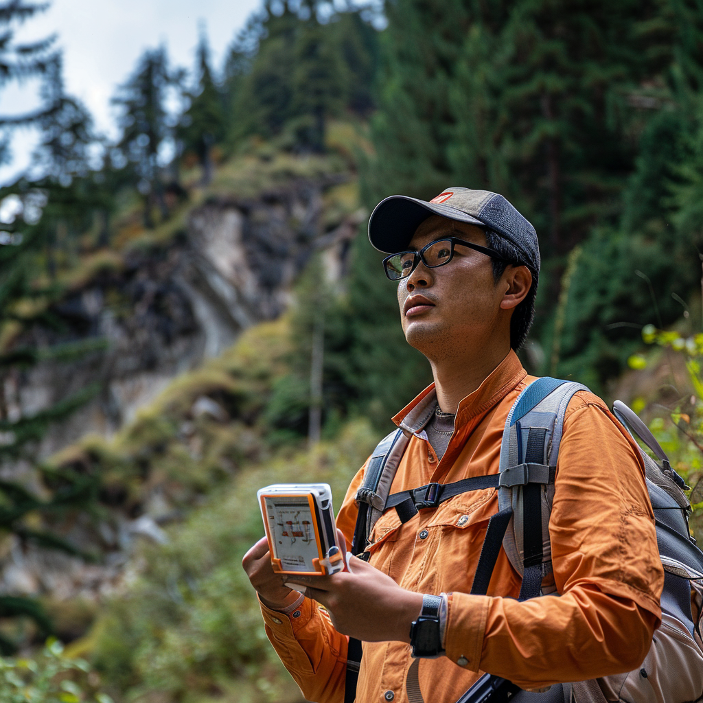
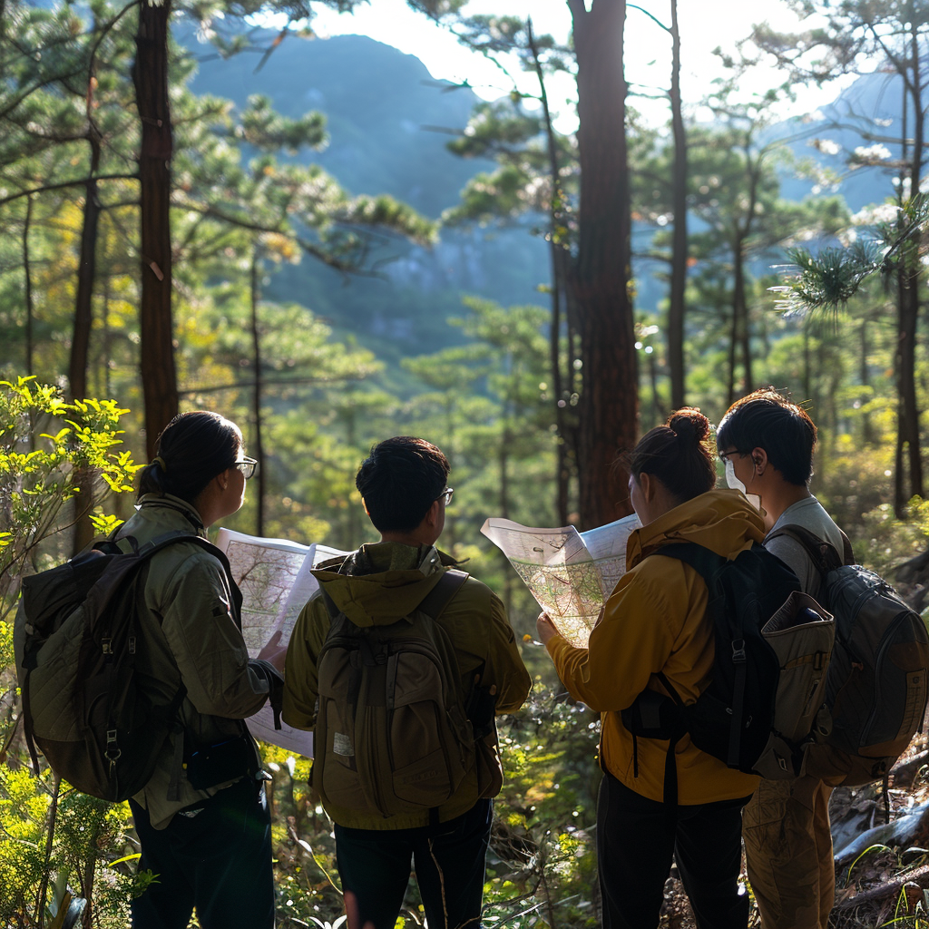
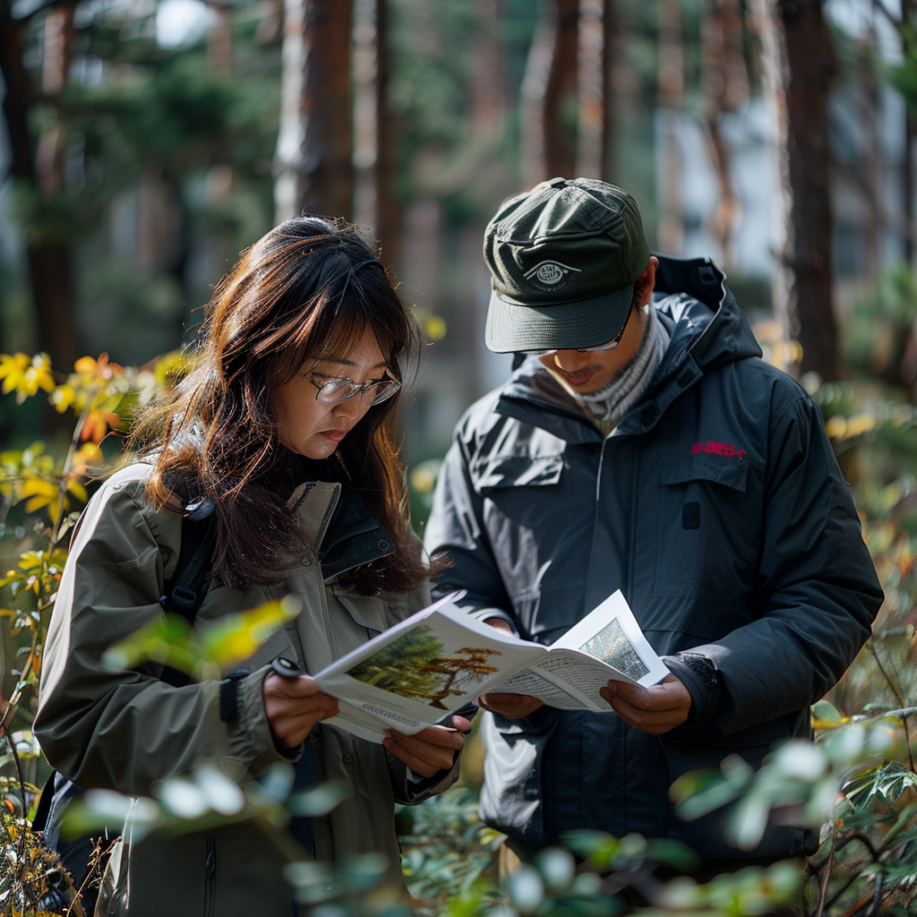
森林、草原和湿地的健康状况直接关系到生态环境的平衡与稳定。为了全面掌握这些自然资源的现状及其变化趋势,城市国土空间监测体系特别加强了对森林、草原和湿地的专项调查监测。通过运用先进的遥感技术,结合地面实地考察,监测团队对各类自然资源的面积、分布、生长状况以及生态环境质量进行了深入细致的探查。这些数据不仅为生态保护提供了科学依据,还有助于推动生态修复和环境保护工作的有效开展。
The health status of forests, grasslands, and wetlands is directly related to the balance and stability of the ecological environment. In order to comprehensively grasp the current status and changing trends of these natural resources, the urban land spatial monitoring system has particularly strengthened the special investigation and monitoring of forests, grasslands, and wetlands. Through the use of advanced remote sensing technology and ground field investigations, the monitoring team conducted in-depth and detailed exploration of the area, distribution, growth status, and ecological environment quality of various natural resources. These data not only provide scientific basis for ecological protection, but also help promote the effective implementation of ecological restoration and environmental protection work.
")
运用到的地面物联监测网络技术:
Ground IoT monitoring network
生态传感终端
Ecological sensing terminal
部署土壤墒情监测站(测量深度1m)、树干液流计(热扩散式)、CO2通量塔
Deploy soil moisture monitoring station (measuring depth of 1m), trunk sap flow meter (thermal diffusion type), CO2 flux tower
实时传输温度/湿度/光合速率等300+参数,采样频率达1Hz
Real time transmission of 300+parameters such as temperature/humidity/photosynthetic rate, with a sampling frequency of 1Hz
智能巡护系统
Intelligent patrol system
华为AI巡护终端集成红外相机(探测距离500m)、北斗定位(精度1m)
Huawei AI patrol terminal integrates infrared camera (detection distance 500m) and Beidou positioning (accuracy 1m)
自动识别盗伐车辆声纹特征,报警响应时间<3秒
Automatically identify the voiceprint features of illegally hacked vehicles, with an alarm response time of less than 3 seconds
自然资源调查监测是生态文明建设、空间规划编制、供给侧结构性改革、宏观调控、自然资源管理体制改革、国土空间用途管制、国土空间生态修复、空间治理能力现代化和国土空间规划体系建设等工作。
Natural resource survey and monitoring refer to the construction of ecological civilization, spatial planning, supply side structural reform, macroeconomic regulation, reform of natural resource management system, control of land use, ecological restoration of land space, modernization of spatial governance capacity, and establishment of land spatial planning system.
本文由森林资源资产评估友情奉献.更多有关的知识请点击:http://www.jyslpg.com我们将会对您提出的疑问进行详细的解答,欢迎您登录网站留言.
This article is contributed by the Friendship Contribution of Forest Resource Asset Evaluation For more information, please click: http://www.jyslpg.com We will provide detailed answers to your questions. You are welcome to log in to our website and leave a message